 vesseltracker.com
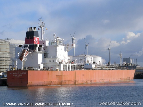
 SEAWAYS POLARIS
Current Status
Where is the vessel?
SEAWAYS POLARIS is currently in 337 nm NE of Nieuw Amsterdam, based on AIS data received less than 1h ago.
Latest AIS update:
Current position: 11.04667° N, 52.83833° W (337 nm NE of Nieuw Amsterdam)
Average speed (last 7 days): Loading…
Average speed (last 30 days): Loading…
Vessel profile: SEAWAYS POLARIS is a Oil/Chemical Tanker with dimensions m x m.
This page combines live AIS, route history, probable destination signals, nearby traffic, and port activity for practical vessel monitoring.
The current position of vessel SEAWAYS POLARIS is 11.04667 lat / -52.83833 lng. Updated: 2026-04-13 06:18:51 UTCNearest reference points:
- Open sea, approx. 407 nm off the nearest listed port
- Open sea, approx. 416 nm off the nearest listed port
- Open sea, approx. 420 nm off the nearest listed port
Currently sailing under the flag of Marshall Islands ![]()
Details:
Live Vessel SEAWAYS POLARIS Analytics (details, animations, etc.)
Recent AIS points (UTC):
2026-04-12 23:39:51 UTC · 11.86500, -53.83333 · SOG 11 kn · COG -1°2026-04-13 02:42:57 UTC · 11.49096, -53.37874 · SOG 11.3 kn · COG 129°
2026-04-13 04:09:49 UTC · 11.31333, -53.16167 · SOG 11 kn · COG -1°
2026-04-13 06:18:51 UTC · 11.04667, -52.83833 · SOG 11 kn · COG -1°