 vesseltracker.com
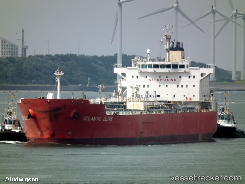
 ATLANTIS ALEXANDRIA
Current Status
Where is the vessel?
ATLANTIS ALEXANDRIA is currently in 298 nm SW of Luderitz Bay, based on AIS data received about 1h ago.
Latest AIS update:
Current position: 30.03849° S, 11.05424° E (298 nm SW of Luderitz Bay)
Average speed (last 7 days): Loading…
Average speed (last 30 days): Loading…
Vessel profile: ATLANTIS ALEXANDRIA is a Oil/Chemical Tanker with dimensions m x m.
This page combines live AIS, route history, probable destination signals, nearby traffic, and port activity for practical vessel monitoring.
The current position of vessel ATLANTIS ALEXANDRIA is -30.03849 lat / 11.05424 lng. Updated: 2026-04-18 04:19:08 UTCNearest reference points:
- 312 nm SW of Luderitz Bay
- Open sea, approx. 401 nm off the nearest listed port
- Open sea, approx. 403 nm off the nearest listed port
Currently sailing under the flag of Marshall Islands ![]()
Details:
Live Vessel ATLANTIS ALEXANDRIA Analytics (details, animations, etc.)
Recent AIS points (UTC):
2026-04-17 21:44:05 UTC · -30.74854, 12.41196 · SOG 12.3 kn · COG 303°2026-04-17 23:54:28 UTC · -30.51669, 11.97057 · SOG 11.9 kn · COG 300°
2026-04-18 02:34:36 UTC · -30.22498, 11.41680 · SOG 12.3 kn · COG 299°
2026-04-18 04:19:08 UTC · -30.03849, 11.05424 · SOG 12.6 kn · COG 302°