 vesseltracker.com
 ATLANTA
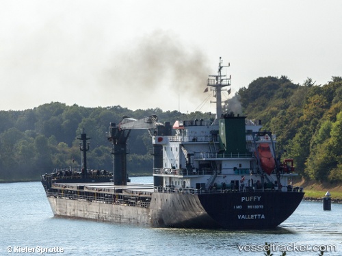
Current Status
Where is the vessel?
ATLANTA is currently in 13 nm NE of Psará, based on AIS data received less than 1h ago.
Latest AIS update:
Current position: 38.71060° N, 25.74118° E (13 nm NE of Psará)
Average speed (last 7 days): Loading…
Average speed (last 30 days): Loading…
Vessel profile: ATLANTA is a General Cargo with dimensions m x m.
This page combines live AIS, route history, probable destination signals, nearby traffic, and port activity for practical vessel monitoring.
The current position of vessel ATLANTA is 38.71060 lat / 25.74118 lng. Updated: 2026-04-18 13:59:58 UTCNearest reference points:
- 28 nm NW of Psará
- 29 nm SW of Sigri Lesvou
- Near CESME
Currently sailing under the flag of Marshall Islands ![]()
Details:
Live Vessel ATLANTA Analytics (details, animations, etc.)
Recent AIS points (UTC):
2026-04-18 08:03:27 UTC · 38.37270, 25.09228 · SOG 5.1 kn · COG 30°2026-04-18 09:39:58 UTC · 38.49200, 25.20358 · SOG 6.2 kn · COG 29°
2026-04-18 11:57:57 UTC · 38.63720, 25.44953 · SOG 6.8 kn · COG 50°
2026-04-18 13:59:58 UTC · 38.71060, 25.74118 · SOG 7.7 kn · COG 64°