 vesseltracker.com
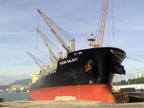
 CHARLES
Current Status
Where is the vessel?
CHARLES is currently in 15 nm E of Fenwick Island, based on AIS data received about 1h ago.
Latest AIS update:
Current position: 38.47067° N, 74.74132° W (15 nm E of Fenwick Island)
Average speed (last 7 days): Loading…
Average speed (last 30 days): Loading…
Vessel profile: CHARLES is a Bulk Carrier with dimensions m x m.
This page combines live AIS, route history, probable destination signals, nearby traffic, and port activity for practical vessel monitoring.
The current position of vessel CHARLES is 38.47067 lat / -74.74132 lng. Updated: 2026-04-20 04:10:05 UTCNearest reference points:
- 24 nm E of West Ocean City
- Near Slaughter Beach
- Near Corbin City
Currently sailing under the flag of Marshall Islands ![]()
Details:
Live Vessel CHARLES Analytics (details, animations, etc.)
Recent AIS points (UTC):
2026-04-20 01:14:39 UTC · 38.88245, -75.08312 · SOG 9.7 kn · COG 170°2026-04-20 01:35:33 UTC · 38.83572, -75.06351 · SOG 7.5 kn · COG 155°
2026-04-20 03:46:09 UTC · 38.53467, -74.79947 · SOG 11.6 kn · COG 145°
2026-04-20 04:10:05 UTC · 38.47067, -74.74132 · SOG 11.7 kn · COG 145°