 vesseltracker.com
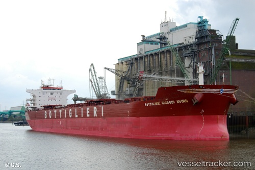
 PAMPERO
Current Status
Where is the vessel?
PAMPERO is currently in 110 nm SE of Fernando De Noronha, based on AIS data received about 2h ago.
Latest AIS update:
Current position: 5.21258° S, 31.20526° W (110 nm SE of Fernando De Noronha)
Average speed (last 7 days): Loading…
Average speed (last 30 days): Loading…
Vessel profile: PAMPERO is a Bulk Carrier with dimensions m x m.
This page combines live AIS, route history, probable destination signals, nearby traffic, and port activity for practical vessel monitoring.
The current position of vessel PAMPERO is -5.21258 lat / -31.20526 lng. Updated: 2026-04-07 05:09:16 UTCCurrently sailing under the flag of Marshall Islands ![]()
Details:
Live Vessel PAMPERO Analytics (details, animations, etc.)
Recent AIS points (UTC):
2026-04-06 22:40:58 UTC · -6.15979, -31.61617 · SOG 9.5 kn · COG 24°2026-04-07 00:33:50 UTC · -5.88272, -31.49285 · SOG 9.6 kn · COG 22°
2026-04-07 02:37:44 UTC · -5.57878, -31.35955 · SOG 9.5 kn · COG 25°
2026-04-07 05:09:16 UTC · -5.21258, -31.20526 · SOG 9.4 kn · COG 23°