 vesseltracker.com
 KEDARNATH
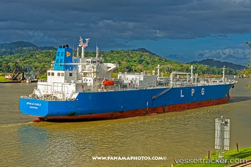
Current Status
Where is the vessel?
KEDARNATH is currently in 125 nm SW of Cabuya Cobano, based on AIS data received about 1h ago.
Latest AIS update:
Current position: 7.87769° N, 86.27276° W (125 nm SW of Cabuya Cobano)
Average speed (last 7 days): Loading…
Average speed (last 30 days): Loading…
Vessel profile: KEDARNATH is a Tanker with dimensions m x m.
This page combines live AIS, route history, probable destination signals, nearby traffic, and port activity for practical vessel monitoring.
The current position of vessel KEDARNATH is 7.87769 lat / -86.27276 lng. Updated: 2026-03-30 01:38:17 UTCNearest reference points:
- 67 nm SW of Sámara
Currently sailing under the flag of Marshall Islands ![]()
Details:
Live Vessel KEDARNATH Analytics (details, animations, etc.)
Recent AIS points (UTC):
2026-03-29 19:36:17 UTC · 8.23928, -87.57604 · SOG 13.9 kn · COG 105°2026-03-29 21:54:10 UTC · 8.09367, -87.07517 · SOG 13.6 kn · COG 105°
2026-03-29 23:32:23 UTC · 7.99448, -86.72232 · SOG 13.1 kn · COG 105°
2026-03-30 01:38:17 UTC · 7.87769, -86.27276 · SOG 13.5 kn · COG 103°