 vesseltracker.com
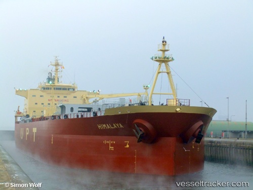
 SEA WOLF I
Current Status
Where is the vessel?
SEA WOLF I is currently in 166 nm E of MASIRAH, based on AIS data received less than 1h ago.
Latest AIS update:
Current position: 20.34196° N, 61.79901° E (166 nm E of MASIRAH)
Average speed (last 7 days): Loading…
Average speed (last 30 days): Loading…
Vessel profile: SEA WOLF I is a Oil/Chemical Tanker with dimensions m x m.
This page combines live AIS, route history, probable destination signals, nearby traffic, and port activity for practical vessel monitoring.
The current position of vessel SEA WOLF I is 20.34196 lat / 61.79901 lng. Updated: 2026-04-13 09:30:10 UTCNearest reference points:
- 90 nm SE of SUR
- 262 nm SE of SUR
- 120 nm E of SUR
Currently sailing under the flag of Marshall Islands ![]()
Details:
Live Vessel SEA WOLF I Analytics (details, animations, etc.)
Recent AIS points (UTC):
2026-04-13 03:45:30 UTC · 20.02041, 60.49871 · SOG 13.3 kn · COG 76°2026-04-13 05:50:50 UTC · 20.14101, 60.97161 · SOG 13.2 kn · COG 75°
2026-04-13 08:08:39 UTC · 20.27015, 61.48851 · SOG 13.2 kn · COG -1°
2026-04-13 09:30:10 UTC · 20.34196, 61.79901 · SOG 13.1 kn · COG 76°