 vesseltracker.com
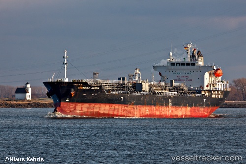
 ORIONIS
Current Status
Where is the vessel?
ORIONIS is currently in 42 nm S of Harper, based on AIS data received less than 1h ago.
Latest AIS update:
Current position: 3.67792° N, 7.83430° W (42 nm S of Harper)
Average speed (last 7 days): Loading…
Average speed (last 30 days): Loading…
Vessel profile: ORIONIS is a Oil/Chemical Tanker with dimensions m x m.
This page combines live AIS, route history, probable destination signals, nearby traffic, and port activity for practical vessel monitoring.
The current position of vessel ORIONIS is 3.67792 lat / -7.83430 lng. Updated: 2026-04-20 19:51:18 UTCNearest reference points:
- 98 nm SW of Harper
- 160 nm S of Harper
- 15 nm SW of Buchanan
Currently sailing under the flag of Marshall Islands ![]()
Details:
Live Vessel ORIONIS Analytics (details, animations, etc.)
Recent AIS points (UTC):
2026-04-20 16:55:01 UTC · 3.59703, -7.28775 · SOG 11.3 kn · COG 268°2026-04-20 17:30:52 UTC · 3.59167, -7.40167 · SOG 11 kn · COG -1°
2026-04-20 19:38:09 UTC · 3.65638, -7.79592 · SOG 11.9 kn · COG 297°
2026-04-20 19:51:18 UTC · 3.67792, -7.83430 · SOG 12.1 kn · COG 300°