 vesseltracker.com
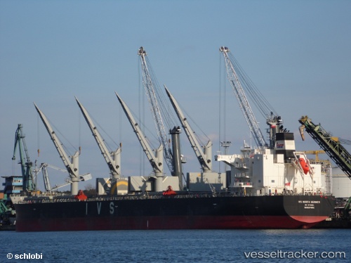
 REIWA
REIWA
Current Status
Where is the vessel?
REIWA is currently in Near FUKUYAMA, based on AIS data received less than 1h ago.
Latest AIS update:
Current position: 34.46786° N, 133.44601° E (Near FUKUYAMA)
Average speed (last 7 days): Loading…
Average speed (last 30 days): Loading…
Vessel profile: REIWA is a Cargo with dimensions m x m.
This page combines live AIS, route history, probable destination signals, nearby traffic, and port activity for practical vessel monitoring.
The current position of vessel REIWA is 34.46786 lat / 133.44601 lng. Updated: 2026-04-18 19:38:45 UTCNearest reference points:
- Near FUKUYAMA
- Near MIZUSHIMA
- Near Kurashiki
Currently sailing under the flag of Marshall Islands ![]()
Details:
Live Vessel REIWA Analytics (details, animations, etc.)
Recent AIS points (UTC):
2026-04-18 13:47:44 UTC · 34.46783, 133.44604 · SOG 0 kn · COG 2°2026-04-18 16:05:43 UTC · 34.46786, 133.44603 · SOG 0 kn · COG 2°
2026-04-18 17:38:43 UTC · 34.46784, 133.44604 · SOG 0 kn · COG 2°
2026-04-18 19:38:45 UTC · 34.46786, 133.44601 · SOG 0 kn · COG 1°