 vesseltracker.com
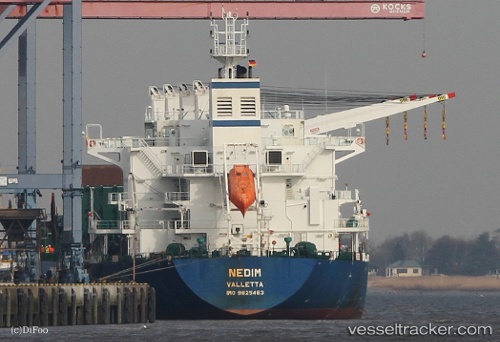
 NEGMAR YAKO I
Current Status
Where is the vessel?
NEGMAR YAKO I is currently in Near Trenton, based on AIS data received about 3h ago.
Latest AIS update:
Current position: 40.14014° N, 74.75533° W (Near Trenton)
Average speed (last 7 days): Loading…
Average speed (last 30 days): Loading…
Vessel profile: NEGMAR YAKO I is a Cargo with dimensions m x m.
This page combines live AIS, route history, probable destination signals, nearby traffic, and port activity for practical vessel monitoring.
The current position of vessel NEGMAR YAKO I is 40.14014 lat / -74.75533 lng. Updated: 2026-04-16 12:48:38 UTCNearest reference points:
- Near Brooklawn
- Near South Amboy
- Near Trainer
Currently sailing under the flag of Marshall Islands ![]()
Details:
Live Vessel NEGMAR YAKO I Analytics (details, animations, etc.)
Recent AIS points (UTC):
2026-04-16 09:51:39 UTC · 40.14010, -74.75534 · SOG 0 kn · COG 343°2026-04-16 11:24:37 UTC · 40.14011, -74.75535 · SOG 0 kn · COG 343°
2026-04-16 12:48:38 UTC · 40.14014, -74.75533 · SOG 0 kn · COG 343°
2026-04-16 12:48:38 UTC · 40.14014, -74.75533 · SOG 0 kn · COG 343°