 vesseltracker.com
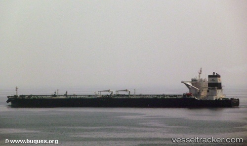
 DHT SUNDARBANS
Current Status
Where is the vessel?
DHT SUNDARBANS is currently in 25 nm SE of Malacca, based on AIS data received about 1h ago.
Latest AIS update:
Current position: 1.83180° N, 102.48984° E (25 nm SE of Malacca)
Average speed (last 7 days): Loading…
Average speed (last 30 days): Loading…
Vessel profile: DHT SUNDARBANS is a Crude Oil Tanker with dimensions m x m.
This page combines live AIS, route history, probable destination signals, nearby traffic, and port activity for practical vessel monitoring.
The current position of vessel DHT SUNDARBANS is 1.83180 lat / 102.48984 lng. Updated: 2026-04-18 11:31:32 UTCNearest reference points:
- 29 nm W of Parit Raja
- 12 nm S of Tangkak
- Near Malacca
Currently sailing under the flag of Marshall Islands ![]()
Details:
Live Vessel DHT SUNDARBANS Analytics (details, animations, etc.)
Recent AIS points (UTC):
2026-04-18 06:11:30 UTC · 1.18195, 103.64059 · SOG 12.1 kn · COG 280°2026-04-18 07:50:41 UTC · 1.33710, 103.28474 · SOG 15.5 kn · COG 306°
2026-04-18 09:44:28 UTC · 1.62782, 102.87090 · SOG 15.8 kn · COG 305°
2026-04-18 11:31:32 UTC · 1.83180, 102.48984 · SOG 13.5 kn · COG 300°