 vesseltracker.com
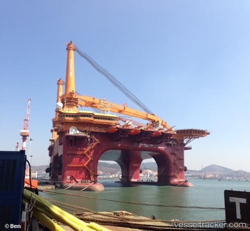
 BLUE GRETHA
Current Status
Where is the vessel?
BLUE GRETHA is currently in 339 nm SE of Abakaliki, based on AIS data received about 3h ago.
Latest AIS update:
Current position: 2.47833° N, 90.13667° E (339 nm SE of Abakaliki)
Average speed (last 7 days): Loading…
Average speed (last 30 days): Loading…
Vessel profile: BLUE GRETHA is a Maintenance Platform with dimensions m x m.
This page combines live AIS, route history, probable destination signals, nearby traffic, and port activity for practical vessel monitoring.
The current position of vessel BLUE GRETHA is 2.47833 lat / 90.13667 lng. Updated: 2026-04-13 03:19:19 UTCNearest reference points:
- Open sea, approx. 414 nm off the nearest listed port
- Open sea, approx. 409 nm off the nearest listed port
- Open sea, approx. 402 nm off the nearest listed port
Currently sailing under the flag of Marshall Islands ![]()
Details:
Live Vessel BLUE GRETHA Analytics (details, animations, etc.)
Recent AIS points (UTC):
2026-04-12 21:41:01 UTC · 2.84286, 90.62647 · SOG 6.6 kn · COG 234°2026-04-12 23:54:42 UTC · 2.69387, 90.43189 · SOG 6.3 kn · COG 234°
2026-04-13 02:10:14 UTC · 2.55500, 90.23500 · SOG 6 kn · COG -1°
2026-04-13 03:19:19 UTC · 2.47833, 90.13667 · SOG 6 kn · COG -1°