 vesseltracker.com
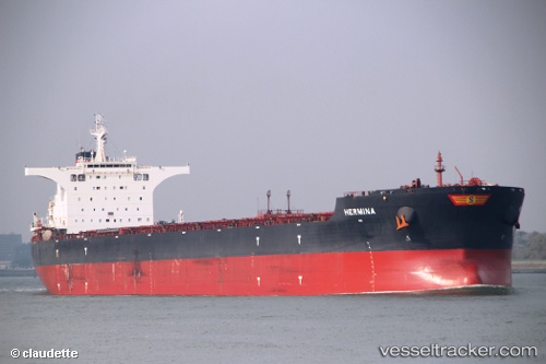
 HERMINA
Current Status
Where is the vessel?
HERMINA is currently in 338 nm W of Walvisbaai, based on AIS data received less than 1h ago.
Latest AIS update:
Current position: 24.07750° S, 8.48840° E (338 nm W of Walvisbaai)
Average speed (last 7 days): Loading…
Average speed (last 30 days): Loading…
Vessel profile: HERMINA is a Bulk Carrier with dimensions m x m.
This page combines live AIS, route history, probable destination signals, nearby traffic, and port activity for practical vessel monitoring.
The current position of vessel HERMINA is -24.07750 lat / 8.48840 lng. Updated: 2026-04-20 00:17:26 UTCNearest reference points:
- Open sea, approx. 401 nm off the nearest listed port
- Open sea, approx. 404 nm off the nearest listed port
- Open sea, approx. 405 nm off the nearest listed port
Currently sailing under the flag of Marshall Islands ![]()
Details:
Live Vessel HERMINA Analytics (details, animations, etc.)
Recent AIS points (UTC):
2026-04-19 19:42:08 UTC · -23.44945, 7.99302 · SOG 9.9 kn · COG 140°2026-04-19 21:39:07 UTC · -23.71575, 8.20512 · SOG 9.8 kn · COG 142°
2026-04-19 22:30:00 UTC · -23.82923, 8.29633 · SOG 9.9 kn · COG 145°
2026-04-20 00:17:26 UTC · -24.07750, 8.48840 · SOG 10.2 kn · COG 142°