 vesseltracker.com
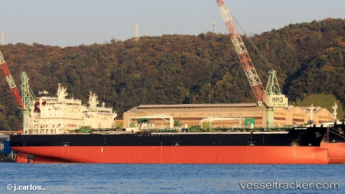
 FRANK LIGHT
Current Status
Where is the vessel?
FRANK LIGHT is currently in 12 nm S of Marmara Ereglisi, based on AIS data received less than 1h ago.
Latest AIS update:
Current position: 40.77494° N, 28.05043° E (12 nm S of Marmara Ereglisi)
Average speed (last 7 days): Loading…
Average speed (last 30 days): Loading…
Vessel profile: FRANK LIGHT is a Tanker with dimensions m x m.
This page combines live AIS, route history, probable destination signals, nearby traffic, and port activity for practical vessel monitoring.
The current position of vessel FRANK LIGHT is 40.77494 lat / 28.05043 lng. Updated: 2026-04-22 07:05:41 UTCNearest reference points:
- Near Saraylar
- 11 nm E of Erdek
- Near Erdek
Currently sailing under the flag of Marshall Islands ![]()
Details:
Live Vessel FRANK LIGHT Analytics (details, animations, etc.)
Recent AIS points (UTC):
2026-04-22 04:09:11 UTC · 40.59332, 27.25633 · SOG 13.2 kn · COG 66°2026-04-22 04:42:31 UTC · 40.64939, 27.39845 · SOG 13.4 kn · COG 65°
2026-04-22 05:57:41 UTC · 40.73835, 27.72955 · SOG 12.7 kn · COG 81°
2026-04-22 07:05:41 UTC · 40.77494, 28.05043 · SOG 13.5 kn · COG 81°