 vesseltracker.com
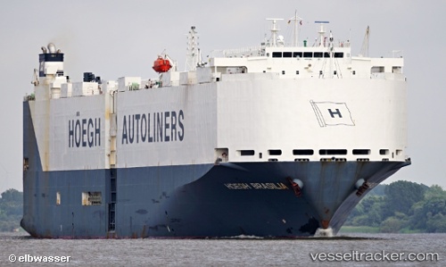
 VIKING BRASILIA
Current Status
Where is the vessel?
VIKING BRASILIA is currently in 95 nm NW of Isla de Margarita, based on AIS data received about 16h ago.
Latest AIS update:
Current position: 12.20627° N, 65.04476° W (95 nm NW of Isla de Margarita)
Average speed (last 7 days): Loading…
Average speed (last 30 days): Loading…
Vessel profile: VIKING BRASILIA is a Vehicles Carrier with dimensions m x m.
This page combines live AIS, route history, probable destination signals, nearby traffic, and port activity for practical vessel monitoring.
The current position of vessel VIKING BRASILIA is 12.20627 lat / -65.04476 lng. Updated: 2026-04-10 07:38:31 UTCNearest reference points:
- 15 nm SW of Punta de Piedras
- Near Puerto Sucre
Currently sailing under the flag of Marshall Islands ![]()
Details:
Live Vessel VIKING BRASILIA Analytics (details, animations, etc.)
Recent AIS points (UTC):
2026-04-10 01:26:25 UTC · 12.41305, -66.69862 · SOG 15.5 kn · COG 98°2026-04-10 03:48:44 UTC · 12.33167, -66.06833 · SOG 15 kn · COG -1°
2026-04-10 05:32:14 UTC · 12.27184, -65.60723 · SOG 16 kn · COG 100°
2026-04-10 07:38:31 UTC · 12.20627, -65.04476 · SOG 16.1 kn · COG 94°