 vesseltracker.com
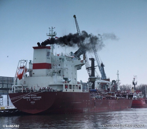
 SKY BLUE
Current Status
Where is the vessel?
SKY BLUE is currently in 241 nm W of LHOKNGA, based on AIS data received about 4h ago.
Latest AIS update:
Current position: 6.02548° N, 91.25483° E (241 nm W of LHOKNGA)
Average speed (last 7 days): Loading…
Average speed (last 30 days): Loading…
Vessel profile: SKY BLUE is a Oil/Chemical Tanker with dimensions m x m.
This page combines live AIS, route history, probable destination signals, nearby traffic, and port activity for practical vessel monitoring.
The current position of vessel SKY BLUE is 6.02548 lat / 91.25483 lng. Updated: 2026-04-21 13:44:35 UTCNearest reference points:
- 172 nm W of LHOKNGA
- 243 nm E of Abakaliki
- 160 nm W of Sebang
Currently sailing under the flag of Marshall Islands ![]()
Details:
Live Vessel SKY BLUE Analytics (details, animations, etc.)
Recent AIS points (UTC):
2026-04-21 12:04:58 UTC · 6.03865, 90.93367 · SOG 11.6 kn · COG 82°2026-04-21 12:04:58 UTC · 6.03865, 90.93367 · SOG 11.6 kn · COG 82°
2026-04-21 13:44:35 UTC · 6.02548, 91.25483 · SOG 11.3 kn · COG 96°
2026-04-21 13:44:35 UTC · 6.02548, 91.25483 · SOG 11.3 kn · COG 96°