 vesseltracker.com
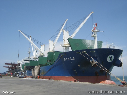
 MARIA ATH
Current Status
Where is the vessel?
MARIA ATH is currently in 45 nm SW of Thoppumpady, based on AIS data received less than 1h ago.
Latest AIS update:
Current position: 9.61039° N, 75.56094° E (45 nm SW of Thoppumpady)
Average speed (last 7 days): Loading…
Average speed (last 30 days): Loading…
Vessel profile: MARIA ATH is a Bulk Carrier with dimensions m x m.
This page combines live AIS, route history, probable destination signals, nearby traffic, and port activity for practical vessel monitoring.
The current position of vessel MARIA ATH is 9.61039 lat / 75.56094 lng. Updated: 2026-04-22 11:20:37 UTCNearest reference points:
- Near Cochin
- Near Edappally
- 45 nm SW of Kalpeni Island
Currently sailing under the flag of Marshall Islands ![]()
Details:
Live Vessel MARIA ATH Analytics (details, animations, etc.)
Recent AIS points (UTC):
2026-04-22 08:03:10 UTC · 9.60833, 75.57333 · SOG 1 kn · COG -1°2026-04-22 09:39:11 UTC · 9.60833, 75.56500 · SOG 1 kn · COG -1°
2026-04-22 10:06:09 UTC · 9.60833, 75.56333 · SOG 0 kn · COG -1°
2026-04-22 11:20:37 UTC · 9.61039, 75.56094 · SOG 0.3 kn · COG -1°