 vesseltracker.com
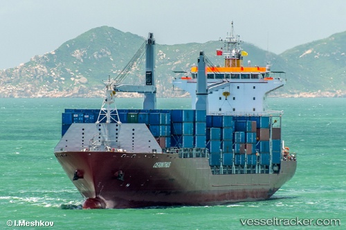
 SONGA DOLPHIN
Current Status
Where is the vessel?
SONGA DOLPHIN is currently in 46 nm N of VARADERO, based on AIS data received about 1h ago.
Latest AIS update:
Current position: 23.87667° N, 80.93833° W (46 nm N of VARADERO)
Average speed (last 7 days): Loading…
Average speed (last 30 days): Loading…
Vessel profile: SONGA DOLPHIN is a Container Ship with dimensions m x m.
This page combines live AIS, route history, probable destination signals, nearby traffic, and port activity for practical vessel monitoring.
The current position of vessel SONGA DOLPHIN is 23.87667 lat / -80.93833 lng. Updated: 2026-04-15 05:47:57 UTCNearest reference points:
- 28 nm NE of VARADERO
- Near Summerland Key
- Near Key West
Currently sailing under the flag of Marshall Islands ![]()
Details:
Live Vessel SONGA DOLPHIN Analytics (details, animations, etc.)
Recent AIS points (UTC):
2026-04-14 22:17:55 UTC · 25.32667, -79.58667 · SOG 16 kn · COG -1°2026-04-15 00:23:57 UTC · 24.77833, -79.70500 · SOG 16 kn · COG -1°
2026-04-15 03:44:58 UTC · 24.14500, -80.47833 · SOG 15 kn · COG -1°
2026-04-15 05:47:57 UTC · 23.87667, -80.93833 · SOG 14 kn · COG -1°