 vesseltracker.com
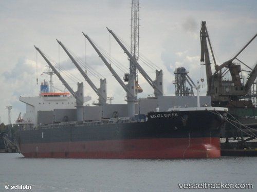
 ESPERITA
Current Status
Where is the vessel?
ESPERITA is currently in 124 nm N of Colomadu, based on AIS data received about 1h ago.
Latest AIS update:
Current position: 9.60162° N, 110.62041° E (124 nm N of Colomadu)
Average speed (last 7 days): Loading…
Average speed (last 30 days): Loading…
Vessel profile: ESPERITA is a Cargo with dimensions m x m.
This page combines live AIS, route history, probable destination signals, nearby traffic, and port activity for practical vessel monitoring.
The current position of vessel ESPERITA is 9.60162 lat / 110.62041 lng. Updated: 2026-04-17 17:56:15 UTCNearest reference points:
- 156 nm SE of Phan Rang-Tháp Chàm
- 163 nm E of Vinh Cam Ranh
- Near Rang Dong
Currently sailing under the flag of Marshall Islands ![]()
Details:
Live Vessel ESPERITA Analytics (details, animations, etc.)
Recent AIS points (UTC):
2026-04-17 11:55:43 UTC · 10.44280, 111.29300 · SOG 10.6 kn · COG -1°2026-04-17 13:39:15 UTC · 10.19743, 111.10587 · SOG 10.8 kn · COG 221°
2026-04-17 15:47:55 UTC · 9.90083, 110.85921 · SOG 10.3 kn · COG 218°
2026-04-17 17:56:15 UTC · 9.60162, 110.62041 · SOG 10.9 kn · COG 218°