 vesseltracker.com
 TEJAS
TEJAS
Current Status
Where is the vessel?
TEJAS is currently in Near Kumport, based on AIS data received about 2h ago.
Latest AIS update:
Current position: 40.95532° N, 28.78303° E (Near Kumport)
Average speed (last 7 days): Loading…
Average speed (last 30 days): Loading…
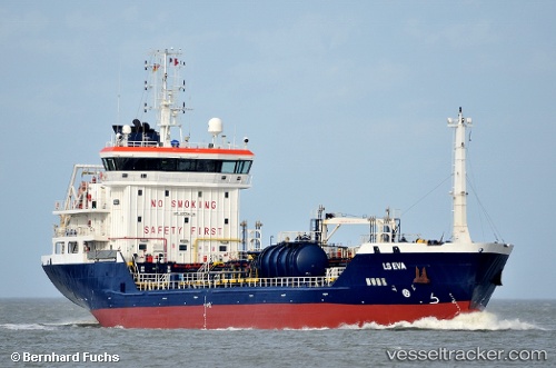
Vessel profile: TEJAS is a Oil/Chemical Tanker with dimensions m x m.
This page combines live AIS, route history, probable destination signals, nearby traffic, and port activity for practical vessel monitoring.
The current position of vessel TEJAS is 40.95532 lat / 28.78303 lng. Updated: 2026-04-07 07:31:12 UTCNearest reference points:
- Near Kumport
- Near Küçükçekmece
- Near Ambarli
Currently sailing under the flag of Marshall Islands ![]()
Details:
Live Vessel TEJAS Analytics (details, animations, etc.)
Recent AIS points (UTC):
2026-04-07 01:46:12 UTC · 40.95631, 28.78410 · SOG 0 kn · COG 182°2026-04-07 03:58:11 UTC · 40.95619, 28.78363 · SOG 0 kn · COG 165°
2026-04-07 05:46:11 UTC · 40.95516, 28.78315 · SOG 0 kn · COG 126°
2026-04-07 07:31:12 UTC · 40.95532, 28.78303 · SOG 0.2 kn · COG 59°