 vesseltracker.com
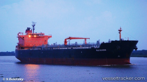
 MARIA FAITH
Current Status
Where is the vessel?
MARIA FAITH is currently in 133 nm N of PUERTO BOLIVAR, based on AIS data received less than 1h ago.
Latest AIS update:
Current position: 14.41333° N, 72.51333° W (133 nm N of PUERTO BOLIVAR)
Average speed (last 7 days): Loading…
Average speed (last 30 days): Loading…
Vessel profile: MARIA FAITH is a Oil/Chemical Tanker with dimensions m x m.
This page combines live AIS, route history, probable destination signals, nearby traffic, and port activity for practical vessel monitoring.
The current position of vessel MARIA FAITH is 14.41333 lat / -72.51333 lng. Updated: 2026-04-19 13:36:02 UTCNearest reference points:
- Near PUERTO BOLIVAR
- 24 nm NW of Palm Beach
Currently sailing under the flag of Marshall Islands ![]()
Details:
Live Vessel MARIA FAITH Analytics (details, animations, etc.)
Recent AIS points (UTC):
2026-04-19 09:35:53 UTC · 13.89143, -71.72873 · SOG 13.6 kn · COG -1°2026-04-19 10:00:02 UTC · 13.95333, -71.81833 · SOG 13 kn · COG -1°
2026-04-19 11:57:03 UTC · 14.20833, -72.19500 · SOG 13 kn · COG -1°
2026-04-19 13:36:02 UTC · 14.41333, -72.51333 · SOG 13 kn · COG -1°