 vesseltracker.com
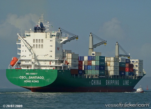
 MAERSK NADI
Current Status
Where is the vessel?
MAERSK NADI is currently in 159 nm SW of Abakaliki, based on AIS data received about 3h ago.
Latest AIS update:
Current position: 3.96021° N, 84.81731° E (159 nm SW of Abakaliki)
Average speed (last 7 days): Loading…
Average speed (last 30 days): Loading…
Vessel profile: MAERSK NADI is a Container Ship with dimensions m x m.
This page combines live AIS, route history, probable destination signals, nearby traffic, and port activity for practical vessel monitoring.
The current position of vessel MAERSK NADI is 3.96021 lat / 84.81731 lng. Updated: 2026-04-06 05:13:33 UTCNearest reference points:
- 127 nm W of Abakaliki
- 46 nm SW of Abakaliki
- 23 nm S of Abakaliki
Currently sailing under the flag of Marshall Islands ![]()
Details:
Live Vessel MAERSK NADI Analytics (details, animations, etc.)
Recent AIS points (UTC):
2026-04-06 02:21:33 UTC · 3.84403, 84.30357 · SOG 11.3 kn · COG 74°2026-04-06 03:25:57 UTC · 3.88618, 84.50320 · SOG 11.5 kn · COG 74°
2026-04-06 05:13:33 UTC · 3.96021, 84.81731 · SOG 10.9 kn · COG 74°
2026-04-06 05:13:33 UTC · 3.96021, 84.81731 · SOG 10.9 kn · COG 74°