 vesseltracker.com
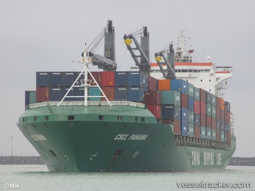
 MAERSK NILE
Current Status
Where is the vessel?
MAERSK NILE is currently in 22 nm SE of Fuengirola, based on AIS data received about 2h ago.
Latest AIS update:
Current position: 36.22057° N, 4.39926° W (22 nm SE of Fuengirola)
Average speed (last 7 days): Loading…
Average speed (last 30 days): Loading…
Vessel profile: MAERSK NILE is a Container Ship with dimensions m x m.
This page combines live AIS, route history, probable destination signals, nearby traffic, and port activity for practical vessel monitoring.
The current position of vessel MAERSK NILE is 36.22057 lat / -4.39926 lng. Updated: 2026-04-12 11:38:53 UTCNearest reference points:
- 31 nm SE of Fuengirola
- 30 nm E of Ceuta
- Near Fuengirola
Currently sailing under the flag of Marshall Islands ![]()
Details:
Live Vessel MAERSK NILE Analytics (details, animations, etc.)
Recent AIS points (UTC):
2026-04-12 07:04:26 UTC · 36.22396, -4.57704 · SOG 1.8 kn · COG 165°2026-04-12 08:20:16 UTC · 36.22281, -4.52939 · SOG 2 kn · COG 170°
2026-04-12 10:31:03 UTC · 36.21673, -4.44303 · SOG 1.8 kn · COG 167°
2026-04-12 11:38:53 UTC · 36.22057, -4.39926 · SOG 1.9 kn · COG 166°