 vesseltracker.com
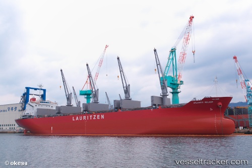
 KAMBOS
Current Status
Where is the vessel?
KAMBOS is currently in 30 nm N of Tubualá, based on AIS data received less than 1h ago.
Latest AIS update:
Current position: 10.02212° N, 79.00496° W (30 nm N of Tubualá)
Average speed (last 7 days): Loading…
Average speed (last 30 days): Loading…
Vessel profile: KAMBOS is a Bulk Carrier with dimensions m x m.
This page combines live AIS, route history, probable destination signals, nearby traffic, and port activity for practical vessel monitoring.
The current position of vessel KAMBOS is 10.02212 lat / -79.00496 lng. Updated: 2026-04-19 16:38:04 UTCNearest reference points:
- Near COLON 2000
- Near Colón Free Zone
- Near Colon
Currently sailing under the flag of Marshall Islands ![]()
Details:
Live Vessel KAMBOS Analytics (details, animations, etc.)
Recent AIS points (UTC):
2026-04-19 13:23:25 UTC · 10.25482, -78.36848 · SOG 12.4 kn · COG 253°2026-04-19 14:12:48 UTC · 10.19351, -78.52577 · SOG 12.2 kn · COG 252°
2026-04-19 15:31:15 UTC · 10.10063, -78.78423 · SOG 12.4 kn · COG 252°
2026-04-19 16:38:04 UTC · 10.02212, -79.00496 · SOG 12.5 kn · COG 251°