 vesseltracker.com
 DEIRA GHAIR
Current Status
Where is the vessel?
DEIRA GHAIR is currently in 77 nm SW of Kalpeni Island, based on AIS data received about 1h ago.
Latest AIS update:
Current position: 8.91079° N, 73.05272° E (77 nm SW of Kalpeni Island)
Average speed (last 7 days): Loading…
Average speed (last 30 days): Loading…
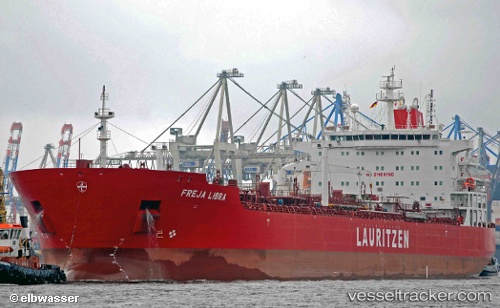
Vessel profile: DEIRA GHAIR is a Oil/Chemical Tanker with dimensions m x m.
This page combines live AIS, route history, probable destination signals, nearby traffic, and port activity for practical vessel monitoring.
The current position of vessel DEIRA GHAIR is 8.91079 lat / 73.05272 lng. Updated: 2026-04-14 15:53:05 UTCNearest reference points:
- 45 nm SW of Kalpeni Island
- 13 nm NW of Lakshadweep
- 130 nm W of Lakshadweep
Currently sailing under the flag of Marshall Islands ![]()
Details:
Live Vessel DEIRA GHAIR Analytics (details, animations, etc.)
Recent AIS points (UTC):
2026-04-14 08:58:27 UTC · 9.70033, 71.93830 · SOG 11.9 kn · COG 135°2026-04-14 08:58:27 UTC · 9.70033, 71.93830 · SOG 11.9 kn · COG 135°
2026-04-14 08:58:27 UTC · 9.70033, 71.93830 · SOG 11.9 kn · COG 135°
2026-04-14 15:53:05 UTC · 8.91079, 73.05272 · SOG 11.7 kn · COG 125°