 vesseltracker.com
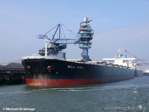
 BULK ARA
Current Status
Where is the vessel?
BULK ARA is currently in 46 nm NW of Sebang, based on AIS data received about 15h ago.
Latest AIS update:
Current position: 6.30748° N, 94.65723° E (46 nm NW of Sebang)
Average speed (last 7 days): Loading…
Average speed (last 30 days): Loading…
Vessel profile: BULK ARA is a Bulk Carrier with dimensions m x m.
This page combines live AIS, route history, probable destination signals, nearby traffic, and port activity for practical vessel monitoring.
The current position of vessel BULK ARA is 6.30748 lat / 94.65723 lng. Updated: 2026-04-10 07:20:46 UTCNearest reference points:
- 48 nm NW of Sebang
- 28 nm NW of Sebang
- 80 nm W of Sebang
Currently sailing under the flag of Marshall Islands ![]()
Details:
Live Vessel BULK ARA Analytics (details, animations, etc.)
Recent AIS points (UTC):
2026-04-10 06:14:06 UTC · 6.29477, 94.46523 · SOG 10.1 kn · COG 88°2026-04-10 06:14:06 UTC · 6.29477, 94.46523 · SOG 10.1 kn · COG 88°
2026-04-10 07:20:46 UTC · 6.30748, 94.65723 · SOG 10.3 kn · COG 90°
2026-04-10 07:20:46 UTC · 6.30748, 94.65723 · SOG 10.3 kn · COG 90°