 vesseltracker.com
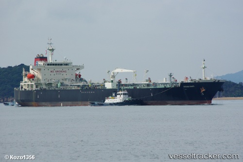
 SAM MAJESTY
Current Status
Where is the vessel?
SAM MAJESTY is currently in 64 nm S of Balhaf, based on AIS data received about 1h ago.
Latest AIS update:
Current position: 12.90806° N, 48.03374° E (64 nm S of Balhaf)
Average speed (last 7 days): Loading…
Average speed (last 30 days): Loading…
Vessel profile: SAM MAJESTY is a Crude Oil Tanker with dimensions m x m.
This page combines live AIS, route history, probable destination signals, nearby traffic, and port activity for practical vessel monitoring.
The current position of vessel SAM MAJESTY is 12.90806 lat / 48.03374 lng. Updated: 2026-04-20 05:20:23 UTCCurrently sailing under the flag of Marshall Islands ![]()
Details:
Live Vessel SAM MAJESTY Analytics (details, animations, etc.)
Recent AIS points (UTC):
2026-04-20 03:26:24 UTC · 13.02225, 48.44503 · SOG 13.1 kn · COG 256°2026-04-20 04:10:43 UTC · 12.97760, 48.28410 · SOG 13.1 kn · COG 258°
2026-04-20 04:10:43 UTC · 12.97760, 48.28410 · SOG 13.1 kn · COG 258°
2026-04-20 05:20:23 UTC · 12.90806, 48.03374 · SOG 13 kn · COG 254°