 vesseltracker.com
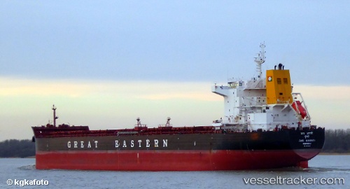
 ATLANTICA STAR
Current Status
Where is the vessel?
ATLANTICA STAR is currently in 48 nm S of Knysna, based on AIS data received less than 1h ago.
Latest AIS update:
Current position: 34.81709° S, 23.28914° E (48 nm S of Knysna)
Average speed (last 7 days): Loading…
Average speed (last 30 days): Loading…
Vessel profile: ATLANTICA STAR is a Bulk Carrier with dimensions m x m.
This page combines live AIS, route history, probable destination signals, nearby traffic, and port activity for practical vessel monitoring.
The current position of vessel ATLANTICA STAR is -34.81709 lat / 23.28914 lng. Updated: 2026-04-15 11:34:29 UTCNearest reference points:
- 37 nm S of Mosselbaai
- 16 nm S of Mosselbaai
- Near Mosselbaai
Currently sailing under the flag of Marshall Islands ![]()
Details:
Live Vessel ATLANTICA STAR Analytics (details, animations, etc.)
Recent AIS points (UTC):
2026-04-15 06:00:17 UTC · -35.07748, 22.02922 · SOG 11.2 kn · COG 82°2026-04-15 08:04:47 UTC · -35.00075, 22.48348 · SOG 11.2 kn · COG 80°
2026-04-15 10:06:09 UTC · -34.89455, 22.94293 · SOG 11.9 kn · COG 81°
2026-04-15 11:34:29 UTC · -34.81709, 23.28914 · SOG 12.1 kn · COG 81°