 vesseltracker.com
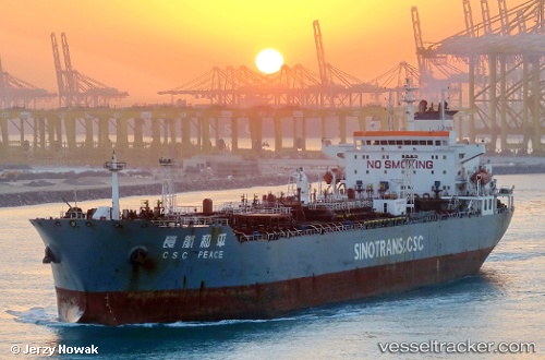
 RAFFLES SHOGUN
Current Status
Where is the vessel?
RAFFLES SHOGUN is currently in 50 nm SW of Gombong, based on AIS data received about 1h ago.
Latest AIS update:
Current position: 6.46394° N, 107.74284° E (50 nm SW of Gombong)
Average speed (last 7 days): Loading…
Average speed (last 30 days): Loading…
Vessel profile: RAFFLES SHOGUN is a Oil Products Tanker with dimensions m x m.
This page combines live AIS, route history, probable destination signals, nearby traffic, and port activity for practical vessel monitoring.
The current position of vessel RAFFLES SHOGUN is 6.46394 lat / 107.74284 lng. Updated: 2026-04-18 15:36:17 UTCNearest reference points:
- 11 nm N of Gombong
- 36 nm SW of Slipi
- 41 nm NW of Brebes
Currently sailing under the flag of Marshall Islands ![]()
Details:
Live Vessel RAFFLES SHOGUN Analytics (details, animations, etc.)
Recent AIS points (UTC):
2026-04-18 14:06:17 UTC · 6.68271, 107.93892 · SOG 11.5 kn · COG 225°2026-04-18 14:06:17 UTC · 6.68271, 107.93892 · SOG 11.5 kn · COG 225°
2026-04-18 15:36:17 UTC · 6.46394, 107.74284 · SOG 11.9 kn · COG 220°
2026-04-18 15:36:17 UTC · 6.46394, 107.74284 · SOG 11.9 kn · COG 220°