 vesseltracker.com
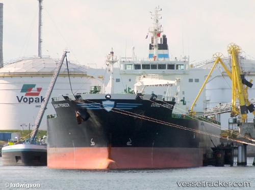
 JAG PRANESH
Current Status
Where is the vessel?
JAG PRANESH is currently in Open sea (no nearby ports in database), based on AIS data received about 1h ago.
Latest AIS update:
Current position: 6.87017° S, 6.62840° W (Open sea (no nearby ports in database))
Average speed (last 7 days): Loading…
Average speed (last 30 days): Loading…
Vessel profile: JAG PRANESH is a Oil/Chemical Tanker with dimensions m x m.
This page combines live AIS, route history, probable destination signals, nearby traffic, and port activity for practical vessel monitoring.
The current position of vessel JAG PRANESH is -6.87017 lat / -6.62840 lng. Updated: 2026-04-18 13:24:59 UTCNearest reference points:
- Open sea (no nearby ports in database)
- Open sea, approx. 563 nm off the nearest listed port
- Open sea, approx. 553 nm off the nearest listed port
Currently sailing under the flag of Marshall Islands ![]()
Details:
Live Vessel JAG PRANESH Analytics (details, animations, etc.)
Recent AIS points (UTC):
2026-04-18 07:45:48 UTC · -7.86863, -5.89184 · SOG 13 kn · COG 327°2026-04-18 09:19:52 UTC · -7.59117, -6.09687 · SOG 13.2 kn · COG 327°
2026-04-18 11:30:23 UTC · -7.20394, -6.36871 · SOG 13.1 kn · COG 324°
2026-04-18 13:24:59 UTC · -6.87017, -6.62840 · SOG 13.4 kn · COG 325°