 vesseltracker.com
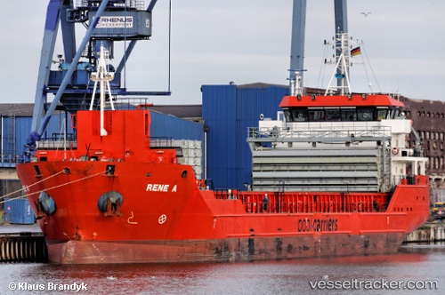
 CELINE
Current Status
Where is the vessel?
CELINE is currently in Near Durres, based on AIS data received less than 1h ago.
Latest AIS update:
Current position: 41.31252° N, 19.45902° E (Near Durres)
Average speed (last 7 days): Loading…
Average speed (last 30 days): Loading…
Vessel profile: CELINE is a General Cargo with dimensions m x m.
This page combines live AIS, route history, probable destination signals, nearby traffic, and port activity for practical vessel monitoring.
The current position of vessel CELINE is 41.31252 lat / 19.45902 lng. Updated: 2026-04-13 15:21:35 UTCNearest reference points:
- Near Durres
- 22 nm W of Fier
- Near TIVAT
Currently sailing under the flag of Marshall Islands ![]()
Details:
Live Vessel CELINE Analytics (details, animations, etc.)
Recent AIS points (UTC):
2026-04-13 09:51:30 UTC · 41.31255, 19.45902 · SOG 0 kn · COG 18°2026-04-13 11:48:33 UTC · 41.31251, 19.45901 · SOG 0 kn · COG 18°
2026-04-13 14:21:27 UTC · 41.31252, 19.45903 · SOG 0 kn · COG 19°
2026-04-13 15:21:35 UTC · 41.31252, 19.45902 · SOG 0 kn · COG 18°