 vesseltracker.com
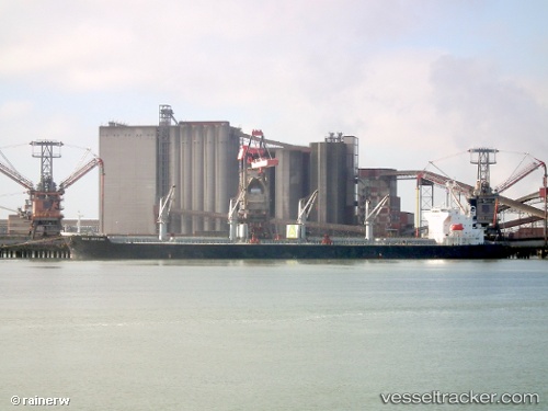
 QUEEN ANT
Current Status
Where is the vessel?
QUEEN ANT is currently in 30 nm NE of Bastimentos, based on AIS data received about 1d ago.
Latest AIS update:
Current position: 9.67833° N, 81.82000° W (30 nm NE of Bastimentos)
Average speed (last 7 days): Loading…
Average speed (last 30 days): Loading…
Vessel profile: QUEEN ANT is a Bulk Carrier with dimensions m x m.
This page combines live AIS, route history, probable destination signals, nearby traffic, and port activity for practical vessel monitoring.
The current position of vessel QUEEN ANT is 9.67833 lat / -81.82000 lng. Updated: 2026-04-10 07:15:34 UTCNearest reference points:
- Near Chiriquí Grande
- Near Colon
- Near Colón Free Zone
Currently sailing under the flag of Marshall Islands ![]()
Details:
Live Vessel QUEEN ANT Analytics (details, animations, etc.)
Recent AIS points (UTC):
2026-04-10 02:15:35 UTC · 9.79333, -81.78500 · SOG 1 kn · COG -1°2026-04-10 04:15:33 UTC · 9.74833, -81.80167 · SOG 1 kn · COG -1°
2026-04-10 06:12:33 UTC · 9.70333, -81.81500 · SOG 1 kn · COG -1°
2026-04-10 07:15:34 UTC · 9.67833, -81.82000 · SOG 1 kn · COG -1°