 vesseltracker.com
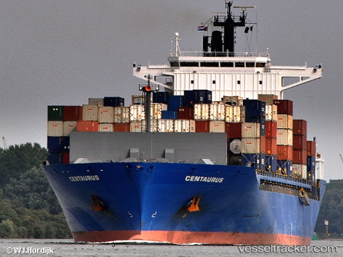
 AS NINA
Current Status
Where is the vessel?
AS NINA is currently in 89 nm NW of Saint Louis, based on AIS data received about 1h ago.
Latest AIS update:
Current position: 16.78440° N, 17.82491° W (89 nm NW of Saint Louis)
Average speed (last 7 days): Loading…
Average speed (last 30 days): Loading…
Vessel profile: AS NINA is a Container Ship with dimensions m x m.
This page combines live AIS, route history, probable destination signals, nearby traffic, and port activity for practical vessel monitoring.
The current position of vessel AS NINA is 16.78440 lat / -17.82491 lng. Updated: 2026-04-19 19:40:08 UTCNearest reference points:
- 100 nm NW of Saint Louis
- 119 nm W of Nouakchott
- 90 nm W of Nouakchott
Currently sailing under the flag of Marshall Islands ![]()
Details:
Live Vessel AS NINA Analytics (details, animations, etc.)
Recent AIS points (UTC):
2026-04-19 16:16:01 UTC · 15.76056, -17.85199 · SOG 18 kn · COG 3°2026-04-19 17:58:58 UTC · 16.27765, -17.83841 · SOG 18.1 kn · COG 5°
2026-04-19 19:14:42 UTC · 16.65642, -17.82832 · SOG 17.8 kn · COG 5°
2026-04-19 19:40:08 UTC · 16.78440, -17.82491 · SOG 18.2 kn · COG 4°