 vesseltracker.com
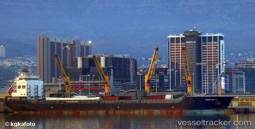
 BRIGHT HORIZON
Current Status
Where is the vessel?
BRIGHT HORIZON is currently in 361 nm E of Rupert's Bay, based on AIS data received about 2h ago.
Latest AIS update:
Current position: 17.92746° S, 0.22903° E (361 nm E of Rupert's Bay)
Average speed (last 7 days): Loading…
Average speed (last 30 days): Loading…
Vessel profile: BRIGHT HORIZON is a General Cargo with dimensions m x m.
This page combines live AIS, route history, probable destination signals, nearby traffic, and port activity for practical vessel monitoring.
The current position of vessel BRIGHT HORIZON is -17.92746 lat / 0.22903 lng. Updated: 2026-04-18 09:40:39 UTCNearest reference points:
- Open sea, approx. 402 nm off the nearest listed port
- Open sea, approx. 404 nm off the nearest listed port
- Open sea, approx. 403 nm off the nearest listed port
Currently sailing under the flag of Marshall Islands ![]()
Details:
Live Vessel BRIGHT HORIZON Analytics (details, animations, etc.)
Recent AIS points (UTC):
2026-04-18 03:31:55 UTC · -17.46995, -0.80352 · SOG 10.6 kn · COG 114°2026-04-18 05:47:55 UTC · -17.63767, -0.42704 · SOG 10.5 kn · COG 114°
2026-04-18 07:44:01 UTC · -17.78755, -0.11023 · SOG 10.3 kn · COG 112°
2026-04-18 09:40:39 UTC · -17.92746, 0.22903 · SOG 10.8 kn · COG 112°