 vesseltracker.com
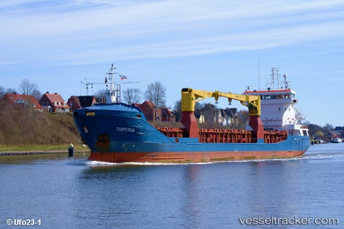
 KAROLINE
Current Status
Where is the vessel?
KAROLINE is currently in Near Luderitz Bay, based on AIS data received about 2h ago.
Latest AIS update:
Current position: 26.63167° S, 15.13833° E (Near Luderitz Bay)
Average speed (last 7 days): Loading…
Average speed (last 30 days): Loading…
Vessel profile: KAROLINE is a General Cargo with dimensions m x m.
This page combines live AIS, route history, probable destination signals, nearby traffic, and port activity for practical vessel monitoring.
The current position of vessel KAROLINE is -26.63167 lat / 15.13833 lng. Updated: 2026-04-23 01:10:41 UTCNearest reference points:
- Near Luderitz Bay
Currently sailing under the flag of Marshall Islands ![]()
Details:
Live Vessel KAROLINE Analytics (details, animations, etc.)
Recent AIS points (UTC):
2026-04-22 21:45:24 UTC · -26.63183, 15.13965 · SOG 0.1 kn · COG 194°2026-04-22 22:03:26 UTC · -26.63185, 15.13930 · SOG 0 kn · COG 155°
2026-04-23 00:15:27 UTC · -26.63180, 15.13943 · SOG 0.1 kn · COG 172°
2026-04-23 01:10:41 UTC · -26.63167, 15.13833 · SOG 0 kn · COG -1°