 vesseltracker.com
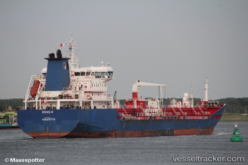
 QIKIQTAALUK W.
Current Status
Where is the vessel?
QIKIQTAALUK W. is currently in Near Gdansk, based on AIS data received less than 1h ago.
Latest AIS update:
Current position: 54.37840° N, 18.65755° E (Near Gdansk)
Average speed (last 7 days): Loading…
Average speed (last 30 days): Loading…
Vessel profile: QIKIQTAALUK W. is a Oil/Chemical Tanker with dimensions m x m.
This page combines live AIS, route history, probable destination signals, nearby traffic, and port activity for practical vessel monitoring.
The current position of vessel QIKIQTAALUK W. is 54.37840 lat / 18.65755 lng. Updated: 2026-04-14 02:20:53 UTCNearest reference points:
- Near Nowy Port/Gdansk
- Near Górki Zachodnie
- Near Sopot
Currently sailing under the flag of Marshall Islands ![]()
Details:
Live Vessel QIKIQTAALUK W. Analytics (details, animations, etc.)
Recent AIS points (UTC):
2026-04-13 20:04:34 UTC · 54.37838, 18.65756 · SOG 0 kn · COG 165°2026-04-13 21:31:26 UTC · 54.37838, 18.65754 · SOG 0 kn · COG 165°
2026-04-14 00:19:33 UTC · 54.37839, 18.65751 · SOG 0 kn · COG 165°
2026-04-14 02:20:53 UTC · 54.37840, 18.65755 · SOG 0 kn · COG -1°