 vesseltracker.com
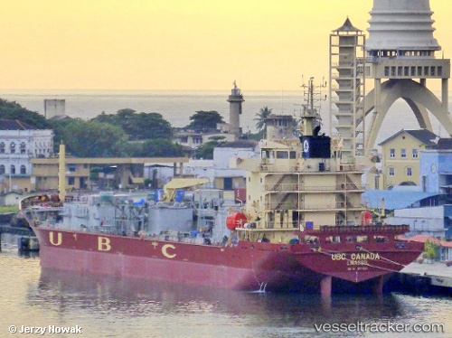
 HESTIA CEMENT
Current Status
Where is the vessel?
HESTIA CEMENT is currently in Near Haifa, based on AIS data received about 1h ago.
Latest AIS update:
Current position: 32.81303° N, 35.03614° E (Near Haifa)
Average speed (last 7 days): Loading…
Average speed (last 30 days): Loading…
Vessel profile: HESTIA CEMENT is a Cement Carrier with dimensions m x m.
This page combines live AIS, route history, probable destination signals, nearby traffic, and port activity for practical vessel monitoring.
The current position of vessel HESTIA CEMENT is 32.81303 lat / 35.03614 lng. Updated: 2026-04-18 23:33:51 UTCNearest reference points:
- Near Haifa
- 22 nm W of Haifa Granaries
- Near DBAIYEH
Currently sailing under the flag of Marshall Islands ![]()
Details:
Live Vessel HESTIA CEMENT Analytics (details, animations, etc.)
Recent AIS points (UTC):
2026-04-18 14:18:25 UTC · 32.90121, 35.00282 · SOG 0.9 kn · COG 327°2026-04-18 19:54:56 UTC · 32.89391, 34.92228 · SOG 5.4 kn · COG 104°
2026-04-18 21:34:25 UTC · 32.81734, 35.02331 · SOG 5.8 kn · COG 135°
2026-04-18 23:33:51 UTC · 32.81303, 35.03614 · SOG 0 kn · COG 160°