 vesseltracker.com
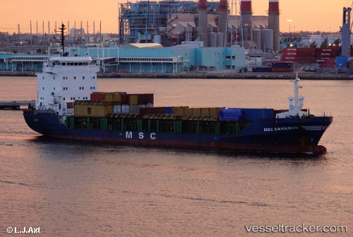
 KEREMCAN
Current Status
Where is the vessel?
KEREMCAN is currently in Near Ambarli, based on AIS data received less than 1h ago.
Latest AIS update:
Current position: 40.95140° N, 28.64967° E (Near Ambarli)
Average speed (last 7 days): Loading…
Average speed (last 30 days): Loading…
Vessel profile: KEREMCAN is a General Cargo with dimensions m x m.
This page combines live AIS, route history, probable destination signals, nearby traffic, and port activity for practical vessel monitoring.
The current position of vessel KEREMCAN is 40.95140 lat / 28.64967 lng. Updated: 2026-04-20 12:12:18 UTCNearest reference points:
- Near Ambarli
- Near Gürpinar
- Near Küçükçekmece
Currently sailing under the flag of Nauru ![]()
Details:
Live Vessel KEREMCAN Analytics (details, animations, etc.)
Recent AIS points (UTC):
2026-04-20 07:54:12 UTC · 40.95032, 28.64828 · SOG 0 kn · COG 102°2026-04-20 10:06:55 UTC · 40.95077, 28.64872 · SOG 0 kn · COG 141°
2026-04-20 10:18:24 UTC · 40.95085, 28.64878 · SOG 0 kn · COG 146°
2026-04-20 12:12:18 UTC · 40.95140, 28.64967 · SOG 0.1 kn · COG 175°