 vesseltracker.com
 OCEAN PEACE
Current Status
Where is the vessel?
OCEAN PEACE is currently in Near Binondo, based on AIS data received about 1h ago.
Latest AIS update:
Current position: 14.60784° N, 120.95911° E (Near Binondo)
Average speed (last 7 days): Loading…
Average speed (last 30 days): Loading…
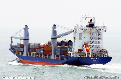
Vessel profile: OCEAN PEACE is a Container Ship with dimensions m x m.
This page combines live AIS, route history, probable destination signals, nearby traffic, and port activity for practical vessel monitoring.
The current position of vessel OCEAN PEACE is 14.60784 lat / 120.95911 lng. Updated: 2026-04-13 09:39:16 UTCNearest reference points:
- Near Caloocan City
- Near Tondo
- Near Malabon
Currently sailing under the flag of Philippines ![]()
Details:
Live Vessel OCEAN PEACE Analytics (details, animations, etc.)
Recent AIS points (UTC):
2026-04-13 03:57:11 UTC · 14.60789, 120.95910 · SOG 0 kn · COG 268°2026-04-13 06:12:10 UTC · 14.60786, 120.95910 · SOG 0 kn · COG 268°
2026-04-13 07:57:08 UTC · 14.60784, 120.95911 · SOG 0 kn · COG 268°
2026-04-13 09:39:16 UTC · 14.60784, 120.95911 · SOG 0 kn · COG 268°