 vesseltracker.com
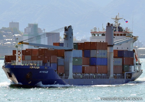
 SPAN ASIA 70
Current Status
Where is the vessel?
SPAN ASIA 70 is currently in Near Nasipit, based on AIS data received about 1h ago.
Latest AIS update:
Current position: 8.98135° N, 125.33598° E (Near Nasipit)
Average speed (last 7 days): Loading…
Average speed (last 30 days): Loading…
Vessel profile: SPAN ASIA 70 is a Container Ship with dimensions m x m.
This page combines live AIS, route history, probable destination signals, nearby traffic, and port activity for practical vessel monitoring.
The current position of vessel SPAN ASIA 70 is 8.98135 lat / 125.33598 lng. Updated: 2026-04-09 23:28:00 UTCNearest reference points:
- Near Taganito
- Near Hilongos
- Near DICT / SVT
Currently sailing under the flag of Philippines ![]()
Details:
Live Vessel SPAN ASIA 70 Analytics (details, animations, etc.)
Recent AIS points (UTC):
2026-04-09 18:22:00 UTC · 8.98135, 125.33598 · SOG 0 kn · COG 180°2026-04-09 19:40:00 UTC · 8.98137, 125.33597 · SOG 0 kn · COG 180°
2026-04-09 22:16:01 UTC · 8.98135, 125.33600 · SOG 0 kn · COG 180°
2026-04-09 23:28:00 UTC · 8.98135, 125.33598 · SOG 0 kn · COG 180°