 vesseltracker.com
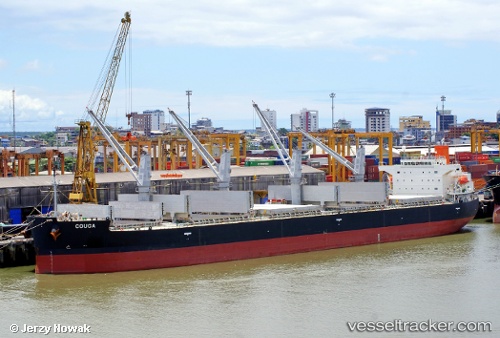
 MAMA CON II
Current Status
Where is the vessel?
MAMA CON II is currently in Near SEMIRARA, based on AIS data received less than 1h ago.
Latest AIS update:
Current position: 12.05538° N, 121.35297° E (Near SEMIRARA)
Average speed (last 7 days): Loading…
Average speed (last 30 days): Loading…
Vessel profile: MAMA CON II is a Bulk Carrier with dimensions m x m.
This page combines live AIS, route history, probable destination signals, nearby traffic, and port activity for practical vessel monitoring.
The current position of vessel MAMA CON II is 12.05538 lat / 121.35297 lng. Updated: 2026-04-21 07:41:55 UTCNearest reference points:
- 19 nm NE of CORON
- 12 nm S of Lobo
- Near Lobo
Currently sailing under the flag of Philippines ![]()
Details:
Live Vessel MAMA CON II Analytics (details, animations, etc.)
Recent AIS points (UTC):
2026-04-21 04:48:37 UTC · 12.05500, 121.35167 · SOG 0 kn · COG -1°2026-04-21 06:12:34 UTC · 12.05500, 121.35167 · SOG 0 kn · COG -1°
2026-04-21 07:15:20 UTC · 12.05540, 121.35298 · SOG 0 kn · COG -1°
2026-04-21 07:41:55 UTC · 12.05538, 121.35297 · SOG 0 kn · COG -1°