 vesseltracker.com
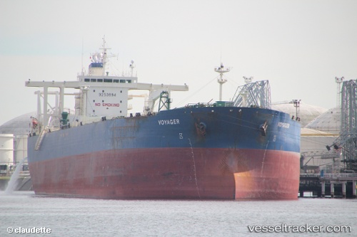
DESTAMAR
Current StatusWhere is the vessel?
DESTAMAR is currently in Near Algiers, based on AIS data received about 1h ago.
Latest AIS update:
Current position: 36.77708° N, 3.06551° E (Near Algiers)
Average speed (last 7 days): Loading…
Average speed (last 30 days): Loading…
Vessel profile: DESTAMAR is a Crude Oil Tanker with dimensions m x m.
This page combines live AIS, route history, probable destination signals, nearby traffic, and port activity for practical vessel monitoring.
The current position of vessel DESTAMAR is 36.77708 lat / 3.06551 lng. Updated: 2026-04-15 11:35:57 UTCNearest reference points:
- Near Algiers
- 16 nm NE of Berja
- 17 nm S of Albanchez
Details:
Live Vessel DESTAMAR Analytics (details, animations, etc.)
Recent AIS points (UTC):
2026-04-15 05:54:26 UTC · 36.77710, 3.06549 · SOG 0.1 kn · COG -1°2026-04-15 07:25:17 UTC · 36.77711, 3.06551 · SOG 0.2 kn · COG -1°
2026-04-15 10:23:29 UTC · 36.77710, 3.06549 · SOG 0.1 kn · COG -1°
2026-04-15 11:35:57 UTC · 36.77708, 3.06551 · SOG 0 kn · COG -1°