 vesseltracker.com
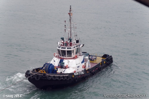
 KORANGA
Current Status
Where is the vessel?
KORANGA is currently in Near Lae, based on AIS data received about 1h ago.
Latest AIS update:
Current position: 6.73833° S, 146.98167° E (Near Lae)
Average speed (last 7 days): Loading…
Average speed (last 30 days): Loading…
Vessel profile: KORANGA is a Pusher Tug with dimensions 14m x 31m.
This page combines live AIS, route history, probable destination signals, nearby traffic, and port activity for practical vessel monitoring.
The current position of vessel KORANGA is -6.73833 lat / 146.98167 lng. Updated: 2026-03-31 22:17:03 UTCNearest reference points:
- Near Lae
- 42 nm E of Tami Island
Currently sailing under the flag of Papua New Guinea ![]()
KORANGA built in 2003 year
Deadweight:
200 tDetails:
Live Vessel KORANGA Analytics (details, animations, etc.)
Recent AIS points (UTC):
2026-03-31 16:07:06 UTC · -6.73833, 146.98167 · SOG 0 kn · COG -1°2026-03-31 17:21:39 UTC · -6.73833, 146.98167 · SOG 0 kn · COG -1°
2026-03-31 19:29:58 UTC · -6.73833, 146.98167 · SOG 0 kn · COG -1°
2026-03-31 22:17:03 UTC · -6.73833, 146.98167 · SOG 0 kn · COG -1°