 vesseltracker.com
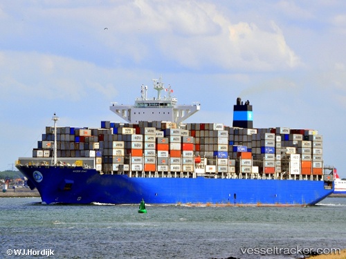
Maersk Sirac
Current StatusWhere is the vessel?
Maersk Sirac is currently in Near Cotonou, based on AIS data received about 16h ago.
Latest AIS update:
Current position: 6.25301° N, 2.50460° E (Near Cotonou)
Average speed (last 7 days): Loading…
Average speed (last 30 days): Loading…
Vessel profile: Maersk Sirac is a Container Ship with dimensions 48m x 299m.
This page combines live AIS, route history, probable destination signals, nearby traffic, and port activity for practical vessel monitoring.
The current position of vessel Maersk Sirac is 6.25301 lat / 2.50460 lng. Updated: 2026-04-10 06:58:38 UTCNearest reference points:
- Near Cotonou
- Near Kirikiri
- Near Apapa
Details:
Live Vessel Maersk Sirac Analytics (details, animations, etc.)
Recent AIS points (UTC):
2026-04-10 02:25:38 UTC · 6.25284, 2.50458 · SOG 0.5 kn · COG 112°2026-04-10 03:49:38 UTC · 6.25308, 2.50466 · SOG 0.2 kn · COG 114°
2026-04-10 05:49:38 UTC · 6.25306, 2.50462 · SOG 0.3 kn · COG 123°
2026-04-10 06:58:38 UTC · 6.25301, 2.50460 · SOG 0.1 kn · COG 114°