 vesseltracker.com
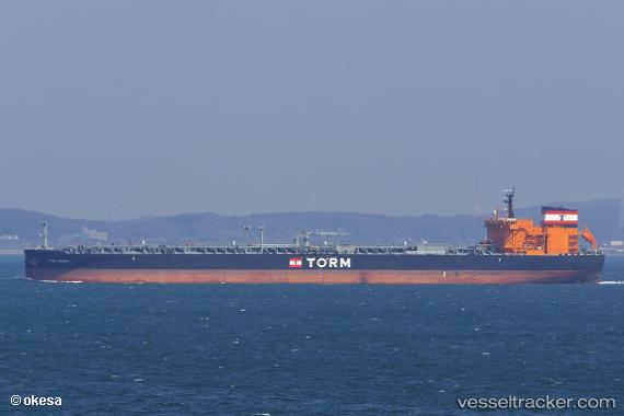
Torm Hermia
Current StatusWhere is the vessel?
Torm Hermia is currently in 107 nm SE of Abakaliki, based on AIS data received about 1h ago.
Latest AIS update:
Current position: 5.54344° N, 87.61320° E (107 nm SE of Abakaliki)
Average speed (last 7 days): Loading…
Average speed (last 30 days): Loading…
Vessel profile: Torm Hermia is a Crude Oil Tanker with dimensions 44m x 250m.
This page combines live AIS, route history, probable destination signals, nearby traffic, and port activity for practical vessel monitoring.
The current position of vessel Torm Hermia is 5.54344 lat / 87.61320 lng. Updated: 2026-04-14 05:55:12 UTCNearest reference points:
- 23 nm S of Abakaliki
- 46 nm SW of Abakaliki
- 243 nm E of Abakaliki
Details:
Live Vessel Torm Hermia Analytics (details, animations, etc.)
Recent AIS points (UTC):
2026-04-14 00:12:32 UTC · 5.63551, 88.76125 · SOG 12.2 kn · COG 263°2026-04-14 01:46:32 UTC · 5.60882, 88.44570 · SOG 12.1 kn · COG 264°
2026-04-14 03:39:52 UTC · 5.57667, 88.06333 · SOG 12 kn · COG -1°
2026-04-14 05:55:12 UTC · 5.54344, 87.61320 · SOG 11.6 kn · COG 261°