 vesseltracker.com
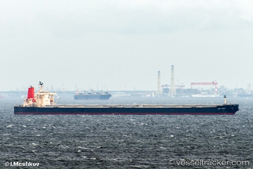
 WINNING YOUTH
Current Status
Where is the vessel?
WINNING YOUTH is currently in 25 nm E of Ranai, based on AIS data received about 1h ago.
Latest AIS update:
Current position: 4.03180° N, 108.78465° E (25 nm E of Ranai)
Average speed (last 7 days): Loading…
Average speed (last 30 days): Loading…
Vessel profile: WINNING YOUTH is a Bulk Carrier with dimensions 300m x 50m.
This page combines live AIS, route history, probable destination signals, nearby traffic, and port activity for practical vessel monitoring.
The current position of vessel WINNING YOUTH is 4.03180 lat / 108.78465 lng. Updated: 2026-04-19 16:08:01 UTCNearest reference points:
- 34 nm SE of Ranai
- 45 nm E of Terempa
- 46 nm E of Kakap Natuna Terminal
Currently sailing under the flag of Singapore ![]()
WINNING YOUTH built in 2005 year
Deadweight:
203195 tDetails:
Live Vessel WINNING YOUTH Analytics (details, animations, etc.)
Recent AIS points (UTC):
2026-04-19 13:37:40 UTC · 3.62167, 108.57948 · SOG 10.6 kn · COG -1°2026-04-19 13:52:42 UTC · 3.65975, 108.60298 · SOG 10.7 kn · COG -1°
2026-04-19 15:48:23 UTC · 3.97822, 108.75855 · SOG 10.8 kn · COG 29°
2026-04-19 16:08:01 UTC · 4.03180, 108.78465 · SOG 10.8 kn · COG -1°