 vesseltracker.com
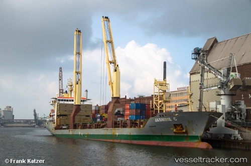
 CAPITAINE KUPE
Current Status
Where is the vessel?
CAPITAINE KUPE is currently in Open sea, approx. 521 nm off the nearest listed port, based on AIS data received about 8h ago.
Latest AIS update:
Current position: 26.80160° S, 167.01315° W (Open sea, approx. 521 nm off the nearest listed port)
Average speed (last 7 days): Loading…
Average speed (last 30 days): Loading…
Vessel profile: CAPITAINE KUPE is a General Cargo Ship with dimensions 138m x 138m.
This page combines live AIS, route history, probable destination signals, nearby traffic, and port activity for practical vessel monitoring.
The current position of vessel CAPITAINE KUPE is -26.80160 lat / -167.01315 lng. Updated: 2026-04-10 07:25:02 UTCNearest reference points:
- Open sea, approx. 521 nm off the nearest listed port
- Open sea, approx. 525 nm off the nearest listed port
- Open sea, approx. 507 nm off the nearest listed port
Currently sailing under the flag of Singapore ![]()
CAPITAINE KUPE built in 2010 year
Deadweight:
12927 tDetails:
Live Vessel CAPITAINE KUPE Analytics (details, animations, etc.)
Recent AIS points (UTC):
2026-04-10 01:47:09 UTC · -27.23250, -167.87431 · SOG 9.7 kn · COG 55°2026-04-10 03:21:28 UTC · -27.10167, -167.63499 · SOG 9 kn · COG -1°
2026-04-10 05:18:14 UTC · -26.96562, -167.33943 · SOG 9.4 kn · COG 59°
2026-04-10 07:25:02 UTC · -26.80160, -167.01315 · SOG 9.3 kn · COG 60°