 vesseltracker.com
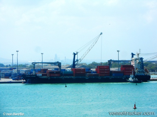
 NPDL TAHITI
Current Status
Where is the vessel?
NPDL TAHITI is currently in 113 nm W of Wala, based on AIS data received about 1h ago.
Latest AIS update:
Current position: 20.19833° S, 161.72166° E (113 nm W of Wala)
Average speed (last 7 days): Loading…
Average speed (last 30 days): Loading…
Vessel profile: NPDL TAHITI is a Cargo with dimensions m x m.
This page combines live AIS, route history, probable destination signals, nearby traffic, and port activity for practical vessel monitoring.
The current position of vessel NPDL TAHITI is -20.19833 lat / 161.72166 lng. Updated: 2026-04-19 09:22:35 UTCCurrently sailing under the flag of Singapore ![]()
Details:
Live Vessel NPDL TAHITI Analytics (details, animations, etc.)
Recent AIS points (UTC):
2026-04-19 03:28:33 UTC · -18.98500, 162.64500 · SOG 14 kn · COG -1°2026-04-19 05:49:54 UTC · -19.44985, 162.24747 · SOG 15.8 kn · COG 215°
2026-04-19 07:23:12 UTC · -19.77752, 162.01636 · SOG 14.8 kn · COG 210°
2026-04-19 09:22:35 UTC · -20.19833, 161.72166 · SOG 15 kn · COG -1°