 vesseltracker.com
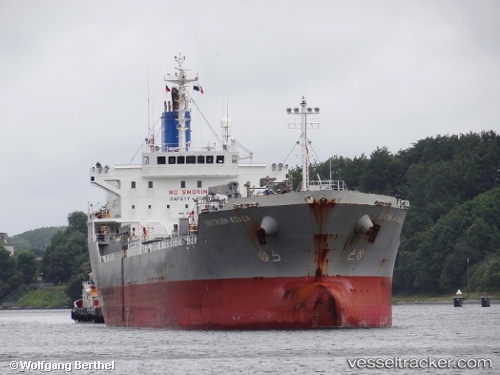
 SAEHAN NURIA
Current Status
Where is the vessel?
SAEHAN NURIA is currently in 129 nm N of Caufield North, based on AIS data received about 1h ago.
Latest AIS update:
Current position: 35.85321° S, 15.79065° E (129 nm N of Caufield North)
Average speed (last 7 days): Loading…
Average speed (last 30 days): Loading…
Vessel profile: SAEHAN NURIA is a Oil/Chemical Tanker with dimensions m x m.
This page combines live AIS, route history, probable destination signals, nearby traffic, and port activity for practical vessel monitoring.
The current position of vessel SAEHAN NURIA is -35.85321 lat / 15.79065 lng. Updated: 2026-04-21 20:25:19 UTCNearest reference points:
- 111 nm W of Kommetjie
- 116 nm SW of Saldanha Bay
- 18 nm SW of Cape Of Good Hope
Currently sailing under the flag of Singapore ![]()
Details:
Live Vessel SAEHAN NURIA Analytics (details, animations, etc.)
Recent AIS points (UTC):
2026-04-21 16:21:50 UTC · -35.94292, 14.96866 · SOG 10.9 kn · COG 88°2026-04-21 18:00:03 UTC · -35.89918, 15.29864 · SOG 10.3 kn · COG 85°
2026-04-21 19:53:19 UTC · -35.86141, 15.68465 · SOG 9.8 kn · COG 96°
2026-04-21 20:25:19 UTC · -35.85321, 15.79065 · SOG 9.9 kn · COG 94°