 vesseltracker.com
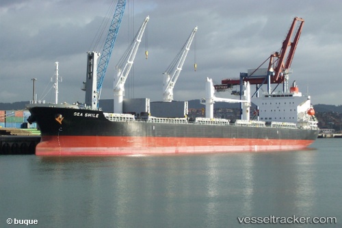
 21 SUNNY
Current Status
Where is the vessel?
21 SUNNY is currently in 21 nm S of Neeltje Jans, based on AIS data received less than 1h ago.
Latest AIS update:
Current position: 53.28278° N, 3.60324° E (21 nm S of Neeltje Jans)
Average speed (last 7 days): Loading…
Average speed (last 30 days): Loading…
Vessel profile: 21 SUNNY is a Bulk Carrier with dimensions m x m.
This page combines live AIS, route history, probable destination signals, nearby traffic, and port activity for practical vessel monitoring.
The current position of vessel 21 SUNNY is 53.28278 lat / 3.60324 lng. Updated: 2026-04-13 01:24:09 UTCNearest reference points:
- Near Neeltje Jans
- 19 nm NW of Neeltje Jans
- 23 nm N of de Ruyter
Currently sailing under the flag of Singapore ![]()
Details:
Live Vessel 21 SUNNY Analytics (details, animations, etc.)
Recent AIS points (UTC):
2026-04-12 19:51:53 UTC · 52.11384, 2.94095 · SOG 13 kn · COG 322°2026-04-12 21:31:15 UTC · 52.46149, 2.95793 · SOG 14.1 kn · COG 23°
2026-04-12 23:26:21 UTC · 52.86171, 3.30058 · SOG 14.2 kn · COG 30°
2026-04-13 01:24:09 UTC · 53.28278, 3.60324 · SOG 14.1 kn · COG 26°